Advertisements
Travel & Geography
Why the Borders Between Countries Are More Arbitrary Than They Look on Maps
Fact 1 of 274%
Straight lines in Africa were drawn by Europeans using only rulers.
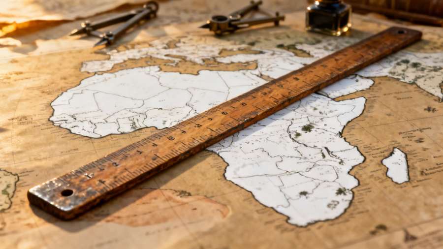
Map showing the colonial division of Africa.
Advertisements
Nearly 44% of African borders are composed of straight lines that ignored geographic and ethnic realities. These lines were drafted during the Berlin Conference of 1884 by powers who had never set foot on the land.
"Over 10,000 distinct polities were compressed into just 50 countries."
This arbitrary partitioning remains a primary source of modern geopolitical instability across the continent.
Did you already know this?